

First detailed survey for oil in Iraq
Geological Notes on Mesopotamia
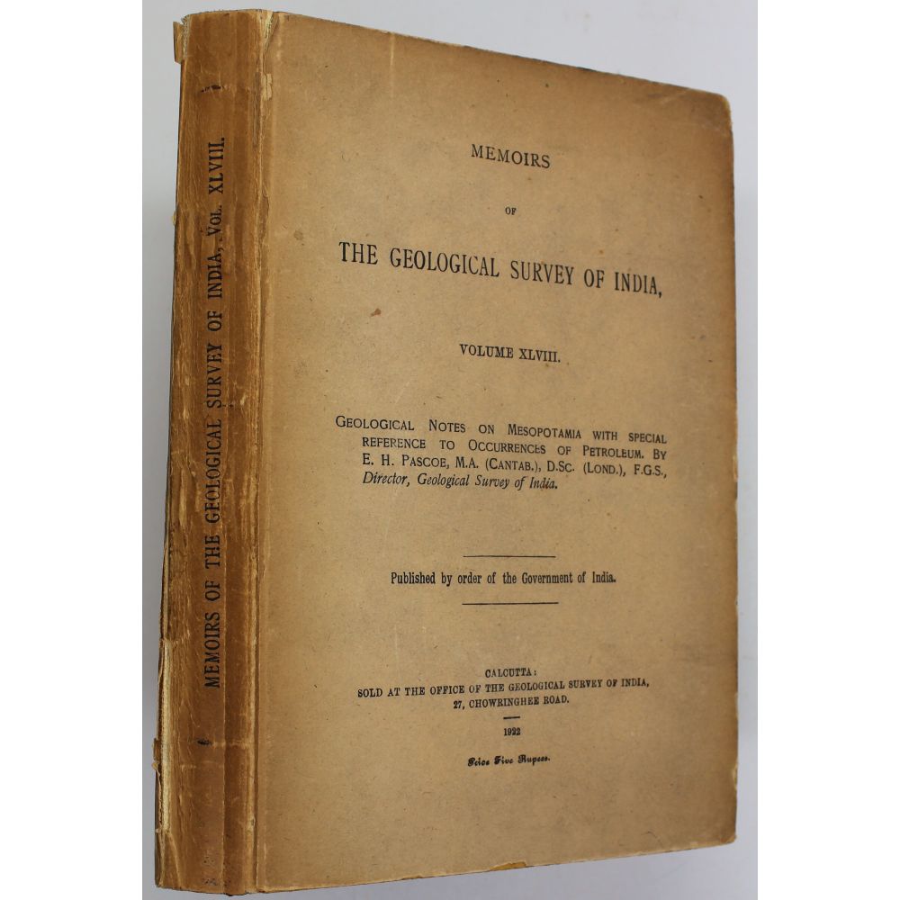
with special reference to occurrences of petroleum. Calcutta Geological Survey of India, Memoirs of the Geological Survey of India, Volume XLVIII. 1922
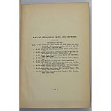
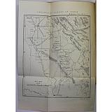
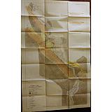
First edition, pp.10, vii, 90, key map and 10 large folding colour maps, mostly on scale of approx 1cm to 0.6 km. The map 1 and 2 lithographed, others heliozincographed: 1. Fathah Area. Jabal Hamrin and Jabal Makhul and the Jabal Khanuqah. (103 x 65 cm). 1918; 2. Fatnah Area. Jabal Hamrin and Jabal Makhul. With a pastedown correction slip over the lower part of title. (51 x 63 cm, approx 1cm to 1.27 km); 3. Country between Mosul and Sharqat including the Qaiyarah Area. (87 x 55 cm, approx 1cm to 1.27 km); 4. The Quwair Dome and Country between Quwair and Atlun Kupri. (52 x 66 cm). 1919; 5. The Kirkuk Area. (57 x 52 cm). 1918; 6. Tazah Khurmatu & Tauq Areas. (70 x 50 cm); 7. Kani Qadir Area. (61 x 83 cm); 8. Country between Tuz Khurmatu & Kifri. (49 x 73 cm); 9. Jabal Gilabat Area between Kifri and Qarah Tappah. (64 x 62 cm); 10. Jabal Hamrin from Opposite Tappah to Table Mountain. (91 x 57 cm). A very good copy in lightly bumped and soiled original boards, joints starting to split but firm. Maps in fine condition, loosely inserted in rear pouch.
Only three copies in COPAC: BL, LSE, Natural History Museum Library
The first geological survey of Northern Iraq, with the first geological maps, that identified the then largest oil field in the world, near Kirkuk, that would establish Iraq as an oil power. Edwin Hall Pascoe (1878-1949), a pioneering British geologist and authority on oil, joined the Geological Survey in 1905. He specialised initially in tectonic plates, but increasingly became an expert on oil, conducting field-leading research in Burma and India. During the First World War British-Indian forces in Iraq had recorded oil seepage and local extraction of crude, but their maps were skeletal and more suited to military topography. Immediately after the war Pascoe was commissioned to make the first detailed geological survey of the region and to look specifically for petroleum. This account of his tour through Tikrit, Mosul, Kirkuk, and El Mansouria is in the form of fourteen reports illustrated with ten cutting-edge geological maps. Each report details his journey and geological observations that tally with his maps. The writing makes it clear he was commercially driven: his notes frequently linger on the potential for oil drills, logistics etc. The fine maps were drawn by Pascoe himself, and printed to a high quality specially for this work. The Kirkuk oil field located by Pascoe remained the world's largest until the Ghawar Field was discovered in Saudi Arabia in 1948. Pascoe's work was hailed as monumental both scientifically and commercially. He was appointed as the Director of the Geological Survey of India, a post he held until 1932, and knighted in 1928.